How we file your EUDR Due Diligence Statement
A 7-step technical workflow from your raw plot data to a EUDR Information System reference number ready for EU customs. Built on Sentinel-2 imagery, Global Forest Watch, and the EU Information System.
End-to-end compliance workflow
From plot data to EUDR Information System reference
- 01
Onboarding & data collection
You send us your supplier list and existing geolocation data (GPS coordinates, KML files, shapefiles, or even hand-drawn maps). We provide a GeoJSON template for any plots that need to be captured fresh. For smallholder cooperatives, we work with your field teams to standardize the collection format.
GeoJSON templateKML/shapefile importSupplier intake form - 02
Polygon validation & mapping
We process all plot data into a unified GeoJSON file. For plots ≥4 ha, EUDR requires polygons (not point coordinates). We validate geometry, check for overlapping plots, flag inconsistencies, and reconstruct missing plots from remote sensing when needed.
QGISGoogle Earth EngineTurf.js for geometry validation - 03
Satellite verification against 31 Dec 2020
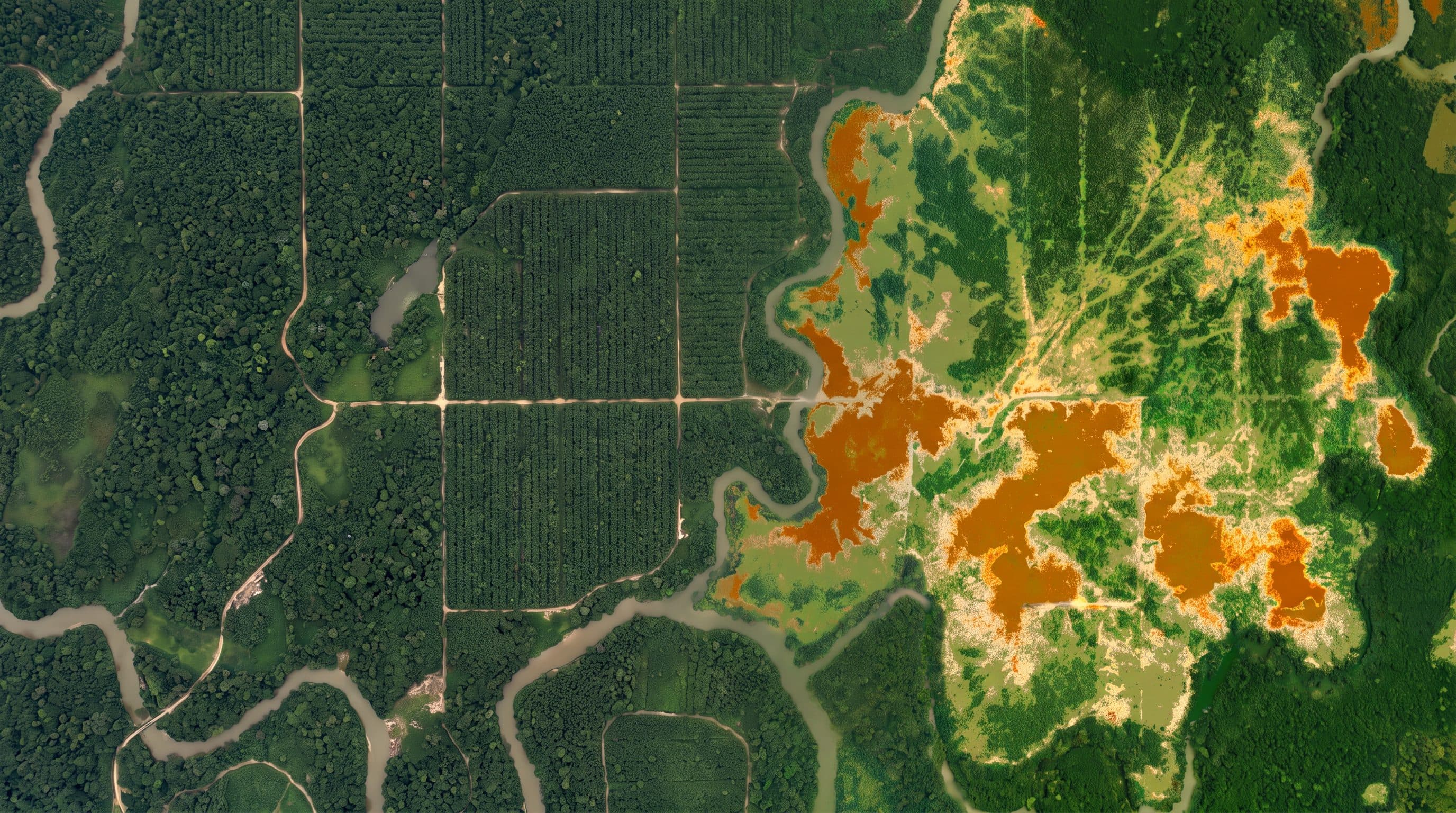
Every plot is verified against the regulatory cutoff date. We pull Sentinel-2 imagery for pre-2021 and current periods, cross-reference Global Forest Watch tree cover loss alerts, and produce a per-plot verification report. Any plot showing post-cutoff forest cover change is flagged for risk mitigation.
Copernicus Sentinel-2Global Forest Watch APIHansen tree cover datasetMapBiomas (where applicable) - 04
Country & supplier risk assessment
We apply the EU country risk tier classification and overlay local risk factors — corruption indices, indigenous land conflicts, supply chain complexity, traceability gaps. Each supplier and country combination gets a documented risk score with mitigation requirements where needed.
EU country tier classificationTransparency International CPICIFOR / WRI land conflict data - 05
DDS structuring
We compile the Due Diligence Statement following the EU Information System schema — operator info, commodity description (HS code, mass, volume), country of production, full geolocation, supplier chain, risk assessment narrative, mitigation measures. Each section maps to Article 10 requirements.
EU Information System schemaArticle 10 compliance checklist - 06
EUDR Information System submission as authorized representative
We file the DDS in EUDR Information System (the official EU Information System at eudr.webcloud.ec.europa.eu) acting as your authorized representative under Article 6. The system returns a unique Due Diligence Reference Number. We deliver the reference number to you for inclusion in customs declarations.
EUDR Information System portal accessAuthorized representative authorization document - 07
5-year archive package
EUDR requires you to preserve all supporting evidence for 5 years from DDS submission. We deliver a complete archive package: original GeoJSON files, satellite verification report with timestamped imagery, supplier documentation, risk assessment narrative, mitigation evidence, and the EUDR Information System submission record.
Encrypted archive package5-year retention SLA
Reference: GeoJSON polygon format
What we mean by "polygon"
For plots ≥4 ha, EUDR requires a polygon — not a single GPS point. This is the standard GeoJSON structure for a single coffee plot in Huila, Colombia. For plots <4 ha (most smallholders), a single latitude/longitude point is sufficient.
{
  "type": "Feature",
  "properties": {
    "plot_id": "CO-HUI-0427",
    "supplier": "Cooperativa Cafetera del Huila",
    "commodity": "coffee",
    "area_ha": 6.4,
    "country": "CO",
    "harvest_year": 2026
  },
  "geometry": {
    "type": "Polygon",
    "coordinates": [[
      [-75.5234, 2.5876],
      [-75.5198, 2.5876],
      [-75.5198, 2.5912],
      [-75.5234, 2.5912],
      [-75.5234, 2.5876]
    ]]
  }
}
We accept the same data in KML, shapefile, CSV, or even manual sketches with corner coordinates. The output is always a clean GeoJSON file compliant with the EU Information System schema.
What you provide · What you receive
The exchange
You provide
- → Supplier list with country of production
- → Plot geolocation (any format — we standardize)
- → Commodity volumes per shipment
- → Land tenure / property documents
- → Authorized representative power of attorney
You receive
- → EUDR Information System Due Diligence Reference Number
- → Per-plot satellite verification report
- → Risk assessment with mitigation evidence
- → Standardized GeoJSON master file
- → 5-year encrypted archive package
You give us your supplier list and plot coordinates. We give you a EUDR Information System reference number
Start with the free check — or go straight to an S0 Risk Score if you already know EUDR applies to you.